The Dirección General del Catastro Territorial (General Directorate
of Cadastre Land [DGCT]) of the Province of Formosa, Argentina, is
responsible for managing, maintaining, and updating the geographic
information and legal valuation of approximately 160,000 parcels that
make up the province, contributing to traffic safety, secure land
tenure, land-use planning, and urban financing through property taxes.
To continue to fulfill these responsibilities, it was necessary to have
reliable, high-quality land information that could be accessed easily
and efficiently.
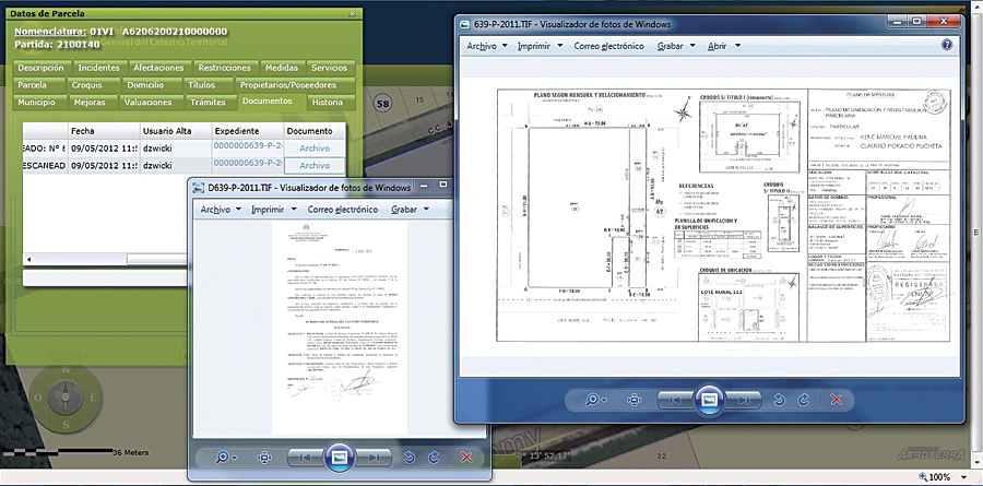
The territorial information
system's management module links to digital documents, such as these
scanned cadastral surveys and the legal document that validates the
transaction.
Officials implemented a new GIS to address these needs and realize
their vision of having a digital cadastre that is open and allows
citizens easy access to the provincial land registry information. This
project involved new technological advances within the provincial
administration.
http://www.esri.com/news/arcnews/fall12articles/argentine-land-registry-launches-territorial-information-system.html
No comments:
Post a Comment